
Who This Journey Is For
This journey suits travelers who want a broad cross-section of coastal California—ocean scenery, road travel, historic places, small cities and towns, protected landscapes, wildlife, and time to notice how the coast changes from south to north.
The Pacific-Coast Traveler: Wants beaches, bluffs, coves, cliffs, surf, marine terraces, and repeated encounters with the ocean.
The Scenic-Road Traveler: Values Highway 1 and coastal transitions as part of the experience, not simply as transportation between stops.
The Culture-and-History Traveler: Enjoys mission-era history, maritime places, architecture, communities, and layered California stories.
The Photographer: Looks for sea cliffs, bridges, lighthouses, missions, wildlife, coastal light, fog, and sunset opportunities.
The Short-Walk Wanderer: Prefers overlooks, beaches, historic sites, tide-pool areas, and light-to-moderate walks, with longer hikes available by choice.
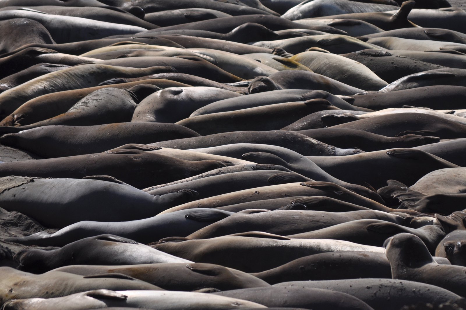
The Wildlife-and-Nature Traveler: Enjoys coastal birds, elephant seals, tide pools, chaparral, redwoods, marine ecosystems, and changing geology.
The Comfortable Explorer: Wants a scenic road journey with comfortable hotel stays while still allowing meaningful outdoor and cultural discovery.

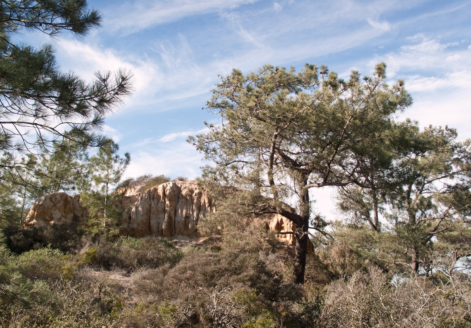 San Diego Coast & Torrey PinesCabrillo’s headlands, La Jolla’s marine edge, and Torrey Pines introduce the route with ocean overlooks, coastal ecology, beaches, and bluff-top walking.
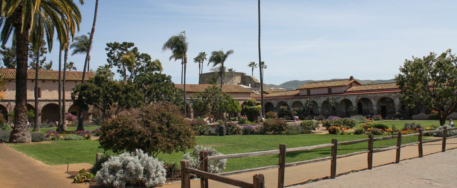 Orange County & San Juan CapistranoBeach cities and the historic mission landscape at San Juan Capistrano add cultural depth between the San Diego coast and the Los Angeles basin.
 Santa Monica Mountains & MalibuMalibu beaches and the Santa Monica Mountains create a rare meeting of metropolitan California, chaparral ridges, canyon roads, and open Pacific views.
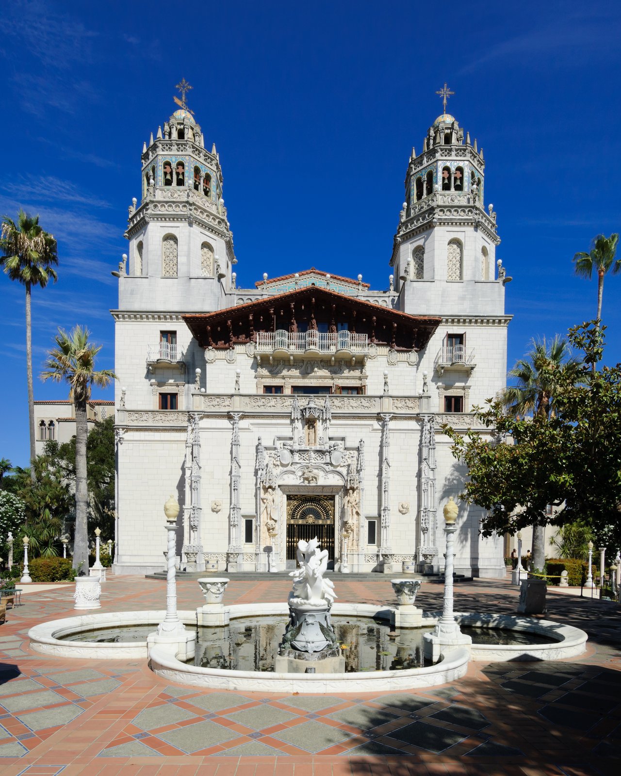
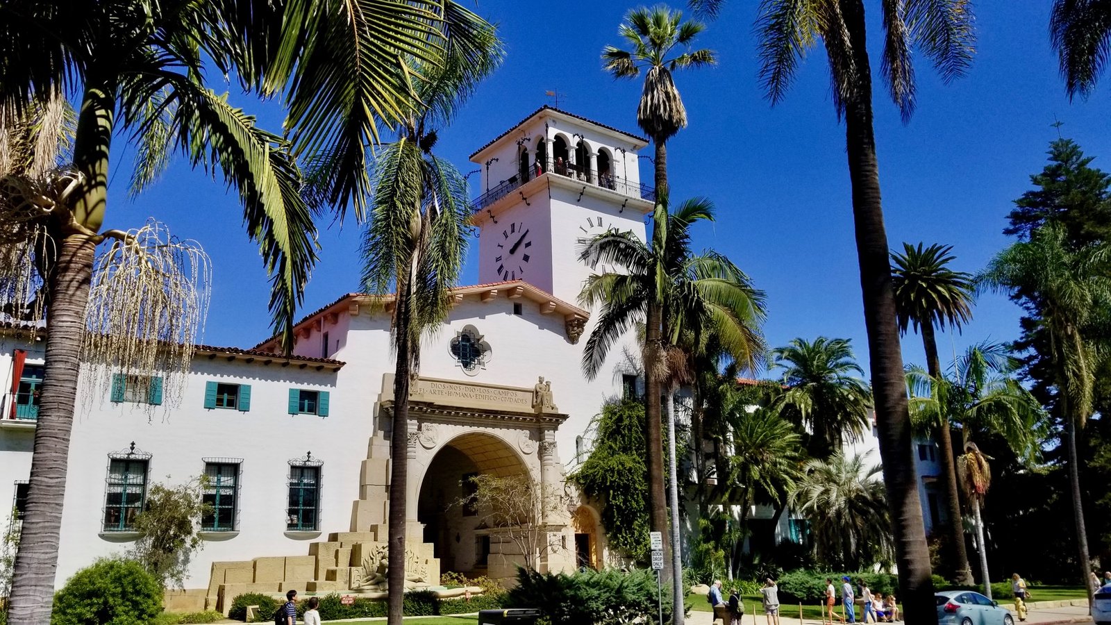 Santa Barbara & Gaviota CoastSpanish Colonial Revival architecture, waterfront character, and the increasingly open Gaviota coast form a transition from Southern California into the Central Coast.
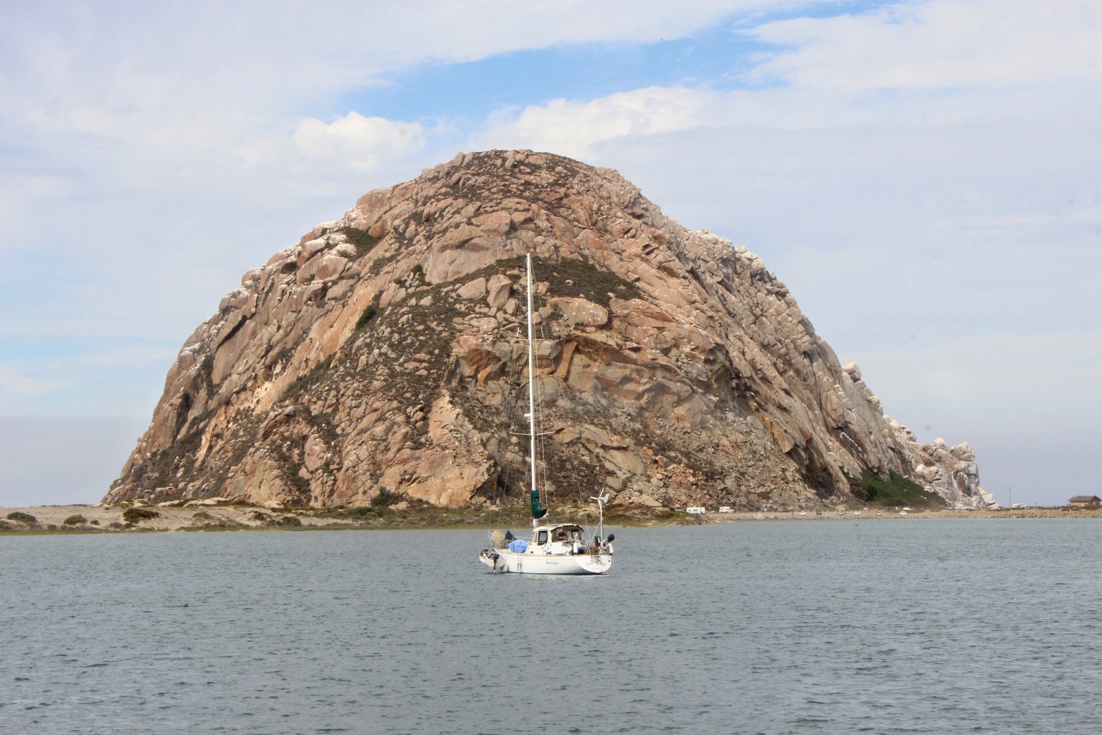 Morro Bay & Montaña de OroMorro Rock, estuary landscapes, rugged nearby cliffs, beaches, and coastal trails offer a strong natural-history pause before the route turns toward San Simeon and Big Sur.
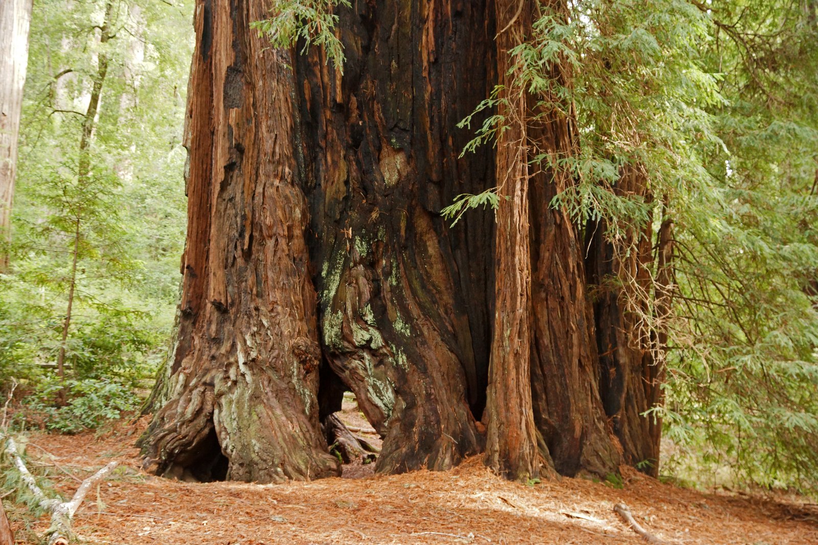
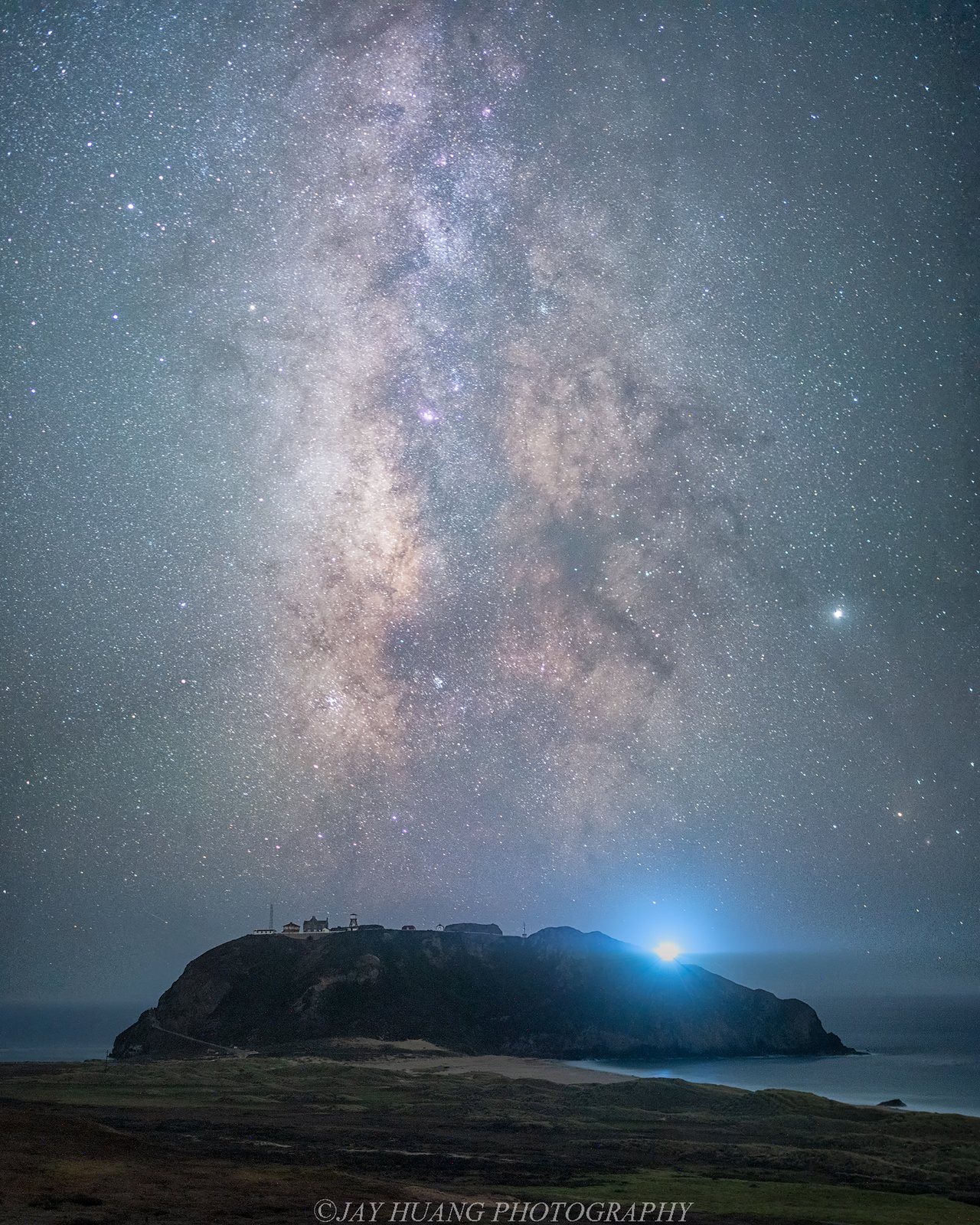 Big Sur & Point SurHighway 1 climbs into one of California’s defining coastal landscapes—bridges, cliffs, redwoods, coves, and Point Sur’s historic lightstation, with access always checked against current conditions.
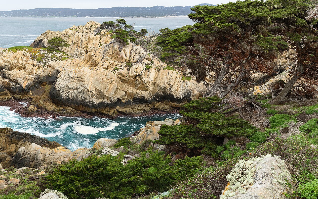 Point Lobos, Carmel & MontereyRocky coves, cypress, marine habitat, historic Monterey, and Carmel create a concentrated stretch of scenery and culture at the north end of Big Sur.
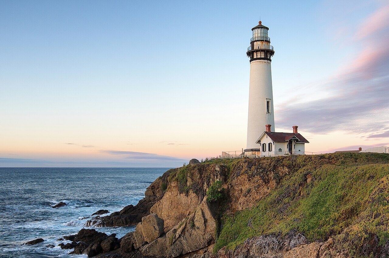
 Santa Cruz to the Golden GateSanta Cruz, the San Mateo coast, Half Moon Bay, and San Francisco carry the journey north through surf culture, lighthouses, beaches, fog, and the Golden Gate.