Who This Journey Is For
This private guided journey suits travelers who want coast, forest, rivers, caves, calderas, and lava country interpreted as one connected Oregon landscape.
The Coast-and-Forest Traveler: Wants dunes, sea stacks, headlands, redwoods, and forest roads without reducing the journey to a scenic drive.
The Volcano-and-Water Traveler: Wants Crater Lake, Newberry, lava flows, caves, lakes, and Cascade geology interpreted in context.
The Photographer: Values changing coastal light, forest texture, lake blue, mountain weather, and time to observe conditions.
The Scenic-Road Traveler: Enjoys the changing relationship between Pacific Highway 101, Siskiyou roads, Rim Drive, US 97, and McKenzie Pass.
The Short-Walk Wanderer: Prefers viewpoints and light-to-moderate walks, with cave experiences and longer trails tailored to traveler interests and comfort.
The People-and-Place Traveler: Wants Tribal homelands, working coastal communities, park stewardship, timber and river histories treated respectfully.
The Season-Aware Traveler: Understands that snow, wildfire, smoke, rain, reservations, and road openings materially shape this route.
What It Feels Like
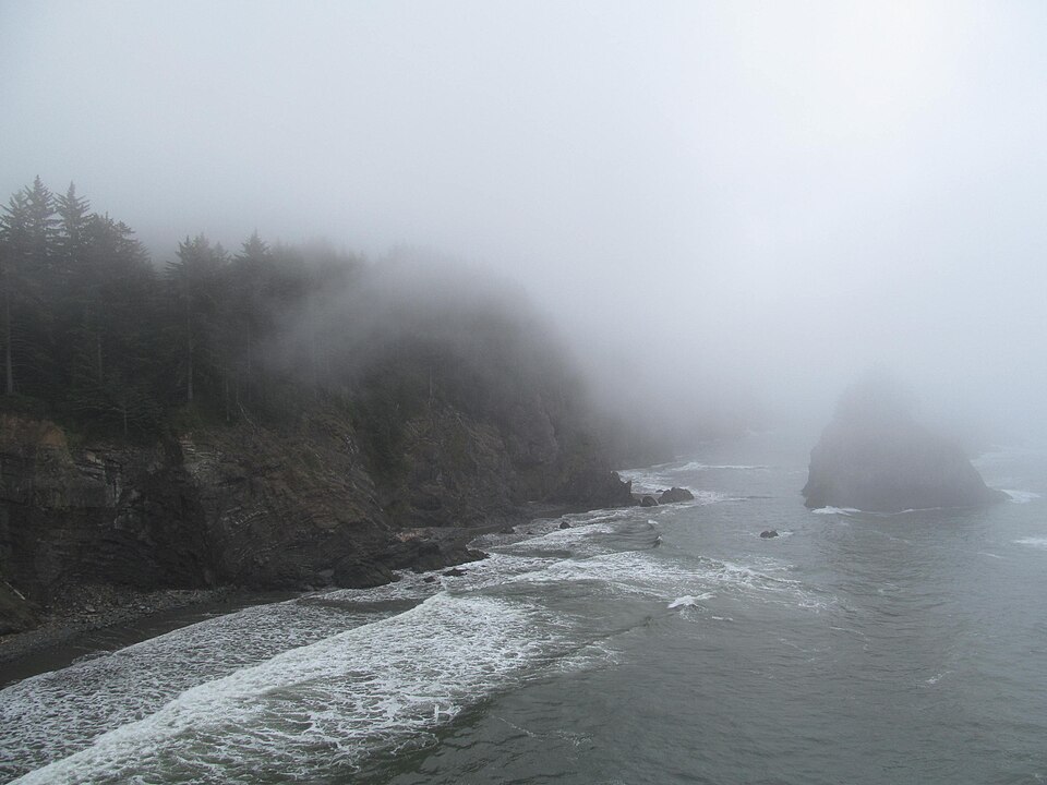
The first impression is contrast: salt air and dark coastal forest give way to redwood scale, river valleys, the improbable blue of Crater Lake, and high volcanic country.
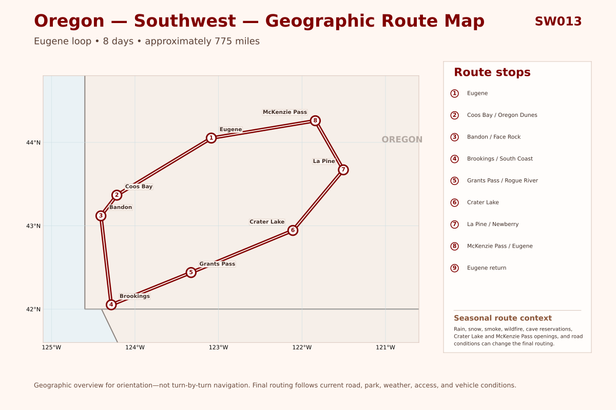
The route moves from Eugene through Coos Bay, Bandon, Brookings, Grants Pass, Crater Lake, and La Pine before returning across the Cascades to Eugene.
Expect winding roads, changeable weather, seasonal closures, reservation-sensitive experiences, and days where 120 miles may contain a full sequence of guided discoveries.
Journey Style
A private guided Oregon loop that benefits from flexibility for coastal weather, snow-season roads, cave tours, park access, and interpretive stops.
PaceModerate, with time protected for scenic stops, interpretation, and changing conditionsWalkingLight to moderate; cave experiences and longer walks are tailored to traveler interests and comfortSceneryCoast, dunes, redwoods, rivers, caldera, volcanoesLearningGeology, ecology, Tribal homelands, stewardship, working communitiesNight SkyPossible when cloud, smoke, moon, access, and lodging alignLodgingHotels and comfort-focused overnight staysRoute8 days • approximately 775 miles • Eugene loop
Eight days allows the hotel journey to unfold at a comfortable guided rhythm.
You may feel at home if...
You want Pacific coast, forest, rivers, Crater Lake, and volcanic landscapes connected through guided interpretation.
Rain, fog, snow, smoke, wildfire, road work, reservations, and seasonal openings can reshape a departure.
People & Place
Living Tribal homelands, coastal and river communities, protected lands, and working landscapes deserve place-specific attention.
Living Homelands & CommunitiesThe loop crosses the homelands of many living peoples, including Kalapuya, Coos, Lower Umpqua, Siuslaw, Coquille, Chetco, Tolowa, Takelma, Shasta, Klamath, Modoc, Molalla, and others. Specific interpretation must follow Tribal and site sources.
Coast, Forest, Fire & WaterPacific weather, dunes, rivers, old forests, snowpack, wildfire, and volcanic watersheds connect the coast to the Cascades.
Towns, Parks & Working LandscapesEugene, Coos Bay, Bandon, Brookings, Grants Pass, and La Pine reflect relationships among transportation, timber, fishing, tourism, conservation, and changing regional economies.

 Oregon DunesWind-shaped dunes, beaches, forests, lakes, and estuaries along the route between Florence and Coos Bay.
 Sunset Bay, Shore Acres & Cape AragoCoves, cliffs, gardens, marine viewpoints, and sculpted shoreline create a concentrated coastal experience.
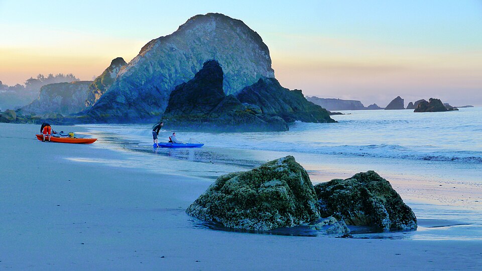
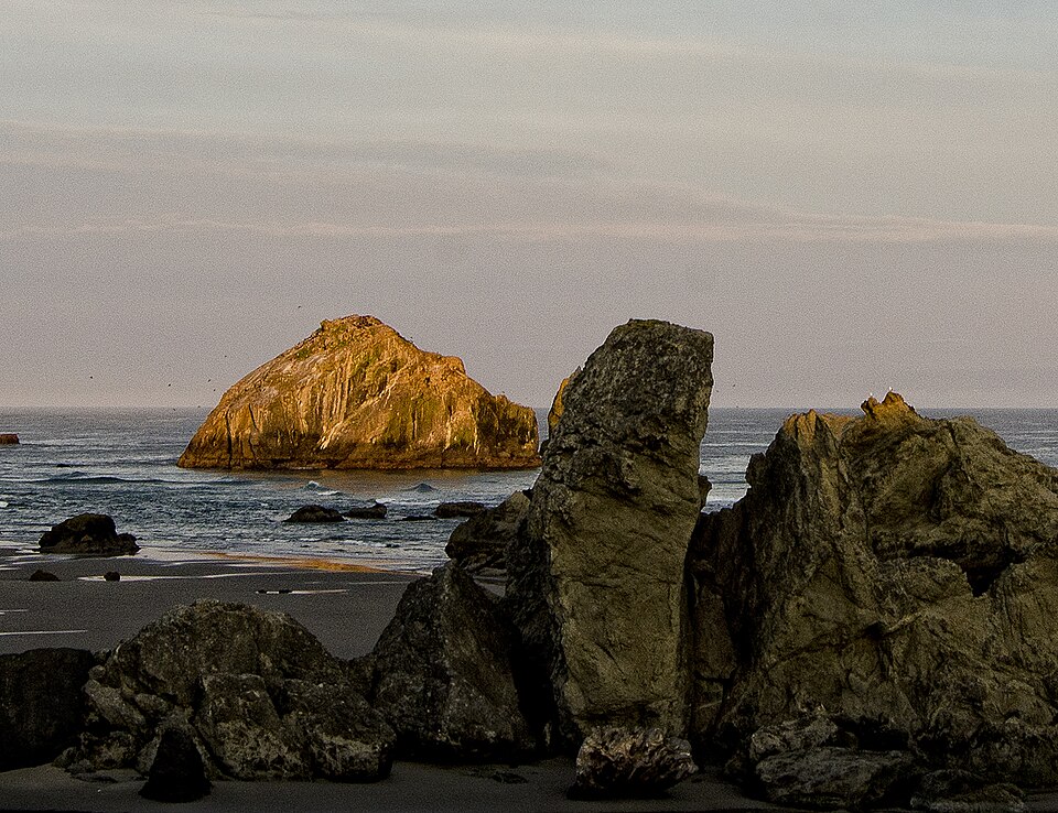 Bandon & Face RockSea stacks, broad beaches, and a walkable coastal community mark a strong pause on the southbound route.
 Jedediah Smith RedwoodsThe inland transition passes through California’s Smith River redwood country before returning to Oregon.
 Oregon CavesMarble caverns and Siskiyou forest add an underground and geological layer when tours and the mountain road are available.
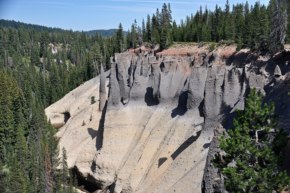
 Crater Lake National ParkDeep-blue caldera views, Rim Drive, trails, and volcanic history form the journey’s defining inland landmark.
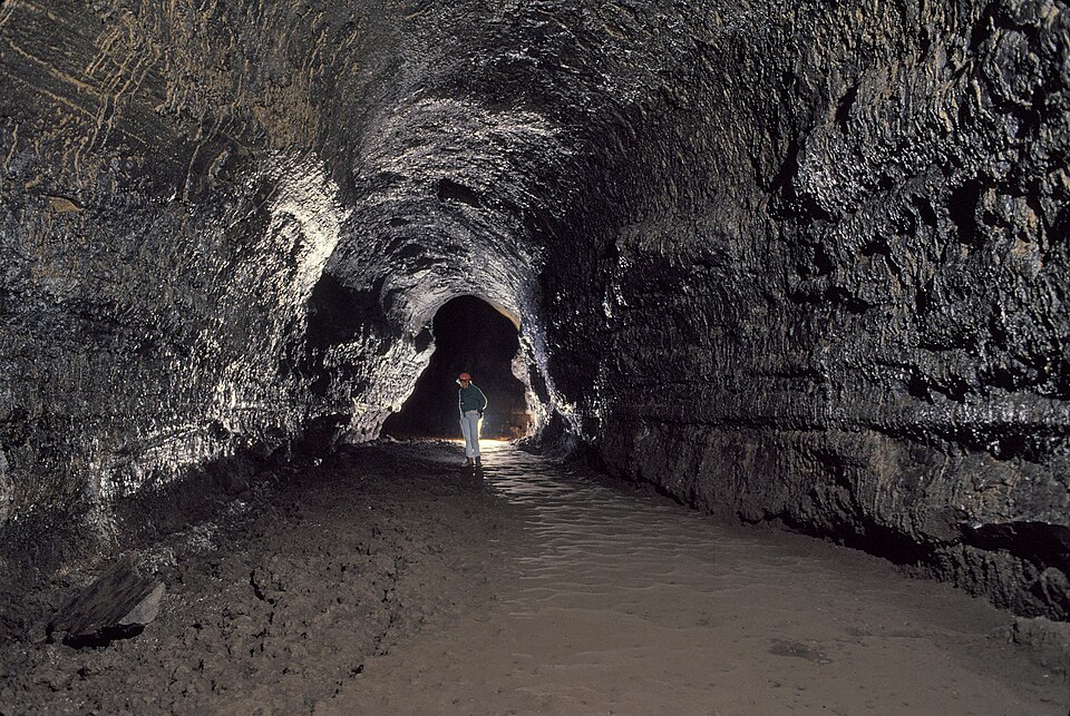
 Newberry Volcanic LandscapesPaulina Lake, lava flows, obsidian, cinder cones, and lava tubes reveal another chapter of Cascade volcanism.